Colombia
South America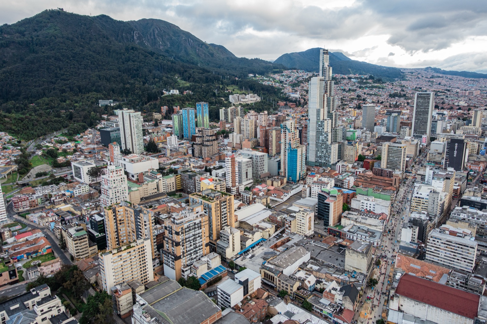
The Andes Mountains run north through western Colombia, where they divide into three parallel mountain ranges: the Western, Central, and Eastern ranges. Between them lie the broad valleys of the Cauca and Magdalena rivers. For centuries, those valleys offered easier places to farm, travel, and build towns, while the steep mountains made journeys from one region to another much harder.
Colombia is the only country in South America with coastlines on both the Caribbean Sea and the Pacific Ocean, and the two coasts feel very different. On the warmer, drier Caribbean side, ports such as Cartagena connected Colombia to ships carrying people and goods around the Caribbean and across the Atlantic. On the Pacific side, mountains rise close to the coast and some of the heaviest rainfall on Earth feeds dense rainforest, so many communities are still reached more easily by river or boat than by road.
Eastern and southern Colombia contain huge tropical lowlands. In the south and southeast, Amazon rainforest stretches across a maze of rivers and dense forest. Farther northeast, enormous tropical grasslands called the Llanos extend toward Venezuela. During the rainy months, rivers spill across the Llanos and turn large areas into shallow wetlands; in the dry season, the water retreats and grasslands return, supporting capybaras, anacondas, giant anteaters, and huge flocks of birds.
Colombia stretches from hot tropical lowlands to cold, wet mountain environments high in the Andes. Near sea level, the coasts and low valleys stay warm, while Bogotá sits about 2,600 meters (8,500 feet) above sea level and remains cool throughout the year. At the highest elevations are treeless, misty landscapes called páramos, where unusual plants such as giant rosette-shaped frailejones grow. In one country, a climb in elevation can take you from tropical heat to cool mountain cities to near-freezing highlands.
- In Caño Cristales, a river in central Colombia, underwater plants can turn brilliant red, pink, green, and yellow during part of the year. Against the clear water and dark rocks, the colors can make the river look as though it has been painted.
- Colombia is home to the tallest palm trees in the world. In the Cocora Valley, wax palms—named for the waxy coating on their trunks and leaves—can soar up to 60 meters (about 200 feet). That's taller than a 15-story building!
The Andes divide western Colombia into separate mountain ranges and valleys, making travel between regions difficult. As a result, several major cities grew in different pockets of flat land between the mountains: Bogotá on a high plateau, Medellín in a narrow valley, and Cali beside the broad Cauca River valley. For much of Colombia's history, those mountain barriers kept the cities relatively separated, helping each develop its own regional identity.
For centuries, steep mountains, rainforest, and long distances made travel between many parts of Colombia difficult, so regional cultures developed in relative isolation. On the Caribbean coast, cumbia—a lively music and dance tradition built around drums, flutes, and rhythmic movement—grew from the mixing of African, Indigenous, and Spanish traditions during the colonial period. On the eastern plains, generations of cattle ranching created a horseback culture shared with neighboring Venezuela, along with joropo, a fast-moving style of music and dance traditionally accompanied by harp, small guitar, and maracas.
Colombia's Indigenous nations have homelands in dramatically different parts of the country, from Caribbean desert to Andean mountains and Amazon rainforest. The Wayuu live on the dry La Guajira Peninsula along the Caribbean coast, the Nasa live in the Andean mountains and valleys of southwestern Colombia, and many other peoples live along rivers in the Amazon. Colombia legally recognizes many Indigenous territories, called resguardos, where communities hold land collectively and govern many local matters through their own authorities.
During Spanish colonial rule, enslaved Africans were brought to Colombia in large numbers to work in gold mines, ports, farms, and households. Many were taken to the Pacific and Caribbean regions, and along the extremely rainy, forested Pacific coast, mining settlements and communities grew beside rivers that served as the main routes through the rainforest. After slavery was abolished in 1851, freed people and their descendants continued living in communities along the Pacific and Caribbean coasts. Today, many Afro-Colombian communities along the Pacific live beside rivers and the sea, where boats remain essential for travel and fishing, music, and food traditions are closely tied to the water.
- Every Sunday and holiday, Bogotá holds Ciclovía, a citywide event when more than 100 kilometers of streets are closed to most cars and opened to bicycles, skaters, runners, and walkers. More than a million people may take part, filling streets across the city.
- Each August in Medellín, flower growers known as silleteros carry enormous flower arrangements on wooden frames called silletas strapped to their backs during the city's Flower Festival. The frames echo the ones rural farmers once used to carry flowers and other goods down the steep mountains into Medellín. Today, the parade celebrates the flower-growing communities around the city and preserves that old mountain tradition.
Colombia's coffee farms climb steep Andean mountainsides where large harvesting machines often cannot go. The country's tropical location allows coffee to grow year-round, while the cooler temperatures at higher elevations help the cherries ripen slowly. Because of the steep terrain, much of the crop is picked by hand, and generations of farming families have built towns and livelihoods around coffee.
High in the Andes around Bogotá, cool temperatures and strong equatorial sunlight create nearly ideal conditions for growing flowers year-round. Large greenhouses across the broad plateau produce roses, carnations, and other cut flowers, many of them bound for North America. Because the farms sit close to Bogotá's international airport, flowers that were growing in Colombia only days earlier can arrive in stores in time for holidays such as Valentine's Day.
Steep Andean mountains made overland travel through Colombia difficult for centuries, so the Magdalena River became the country's great north-south highway. Flowing from the interior toward the Caribbean Sea, it carried people, coffee, tobacco, and other goods between inland towns and coastal ports. Long before modern highways crossed the mountains, riverboats helped connect otherwise separated regions and helped towns grow along the riverbanks.
Emeralds are green crystals of a mineral called beryl, and some of the world's richest deposits formed deep inside Colombia's Eastern Andes. Hot, mineral-rich water moved through cracks in the mountain rock and cooled there, allowing emerald crystals to grow. Indigenous peoples, including the Muzo, mined and traded emeralds for centuries, and the region remains one of the world's best-known sources today.
- Medellín sits in a narrow valley surrounded by steep mountains, and as neighborhoods spread higher up the hillsides, roads and buses struggled to keep up. In 2004, the city opened the Metrocable, a public-transit system of cable cars that carries people through the air from hillside neighborhoods down to the metro in the valley below. The city also added libraries, schools, parks, and other improvements around the stations, helping reconnect communities that had long been difficult to reach.
- Near Bogotá, visitors can walk through a cathedral carved inside the tunnels of a former salt mine about 180 meters (590 feet) underground. Muisca Indigenous communities had been extracting and trading salt at Zipaquirá for centuries; the underground cathedral was created much later inside the mine.
Recipes
For the whole familyArepas de Queso (Cheese Arepas)
Arepas are corn cakes eaten across Colombia in many regional forms. Cheese arepas are an accessible introduction to a food with deep pre-Columbian maize roots that remains part of everyday breakfasts, snacks, and family meals.
What it is: Simple Colombian cheese arepas made from precooked corn flour, warm water, butter, and cheese
Difficulty: Easy — few ingredients, no yeast or rising time needed
Ajiaco Santafereño (Bogotá Chicken and Potato Soup)
Ajiaco santafereño is closely associated with Bogotá and the cool Andean highlands around the capital. The soup traditionally combines chicken, corn, several kinds of potato, and the herb guascas; families may serve it with avocado, capers, cream, and rice.
What it is: Bogotá's chicken-and-potato soup flavored with corn and guascas, served with avocado, capers, cream, and rice
Difficulty: More involved — many ingredients, garnishes, and a long simmer; use recipe notes for substitutions if Colombian potatoes or guascas are hard to find
Traditional Games
All agesGolosa is a Colombian name for hopscotch. A common Colombian course has numbered spaces followed by a final space called cielo, or "sky," where players can land on both feet before making the return trip. Layouts and rules can differ from one group or region to another.
Yermis turns a small stack of bottle caps and a ball into a fast Colombian game of throwing, dodging, teamwork, and rebuilding. It has long been played informally in streets, parks, and schoolyards using inexpensive objects.
Activities
Build Colombia: Mountains to Two Seas
Build a raised map showing Colombia’s Caribbean and Pacific coasts, three Andean mountain ranges, eastern grasslands, and Amazon rainforest
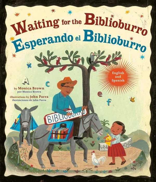
Pack a Traveling Library
Choose three real books for a pretend Biblioburro delivery to children in rural northern Colombia
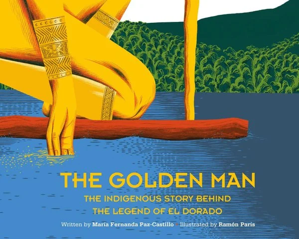
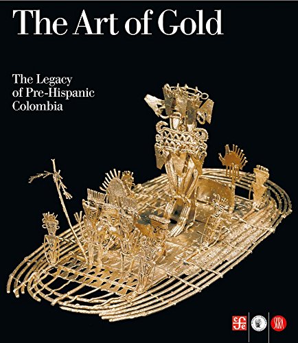
Look Closely at the Muisca Raft
Look closely at the real Muisca gold raft and see how a ceremony on water became connected with the legend of El Dorado
Move Like Three Colombian Animals
Look at three Colombian animals, then copy a movement that fits how each one lives
Cumbia: Hear the Beat and Watch the Dance
Listen for drums and flutes in Colombian cumbia, then copy one simple movement you can see in a performance
Cartagena: A Caribbean Port City
Explore Cartagena’s harbor, walls, historic center, and modern city to see why this Caribbean location became an important port
Three Colombian Cities at Three Heights
Compare sea-level Cartagena, valley-city Medellín, and high-altitude Bogotá to see how elevation changes the setting of a city
Explore Bogotá’s Gold Museum
Examine the Muisca raft and two other pre-Columbian objects as ceremonial and artistic objects, not simply treasure
From Coffee Cherry to Bean
Follow Colombian coffee from ripe red cherry through washing, drying, roasting, and grinding
Colombia's Birds: The World's Most Species-Rich Country
Explore why Colombia hosts more bird species than any other country and what that tells you about its geography.
Vallenato: Three Instruments, Three Histories
Listen to vallenato and hear how three instruments from three different peoples came together into one Colombian sound.
Colombia’s Six Natural Regions
Use a reference map to locate Colombia’s Andean, Caribbean, Pacific, Orinoquía, Amazon, and Insular regions
Ride Medellín’s Metrocable
Follow Medellín’s cable-car lines up steep hillsides and see why aerial transit makes sense in this mountain valley
San Basilio de Palenque: A Community Founded in Freedom
Explore a community founded by people who escaped slavery and hear how language, music, and oral traditions continue today
Listen to Cumbia and Vallenato
Compare two Caribbean Colombian music traditions by listening for percussion, flutes, accordion, and sung storytelling
Carnival of Barranquilla: Masks, Music, and Satire
Watch Barranquilla’s Carnival and notice how masks, dancing, music, and comic characters fill the streets
La Violencia: Colombia's Long Civil Conflict
A conflict that began in 1948 killed 200,000 people and displaced 7 million more.
Conflict Geography in Colombia
Use a physical map to see how mountains, forests, rivers, roads, and distance affected Colombia’s long armed conflict without treating geography as its cause
How a Páramo Stores Water
Compare an absorbent surface with gravel to model how high-elevation páramo vegetation and organic soils can slow and hold water
Medellín: Designing Transportation for a Mountain City
Compare rail, cable cars, trams, and buses to see how Medellín matches different forms of transit to different terrain
Coffee on Steep Slopes
Examine how mountain terrain, small farms, towns, transportation, and global trade come together in Colombia’s Coffee Cultural Landscape
The Magdalena River: A Corridor Through Colombia
Trace the Magdalena from the Andes toward the Caribbean and see why its long valley became a major corridor for settlement, trade, and movement
Emma Reyes: Mapping a Colombian Childhood
Map clearly named places in Emma Reyes’s memoir to see how movement between settings shaped one Colombian childhood
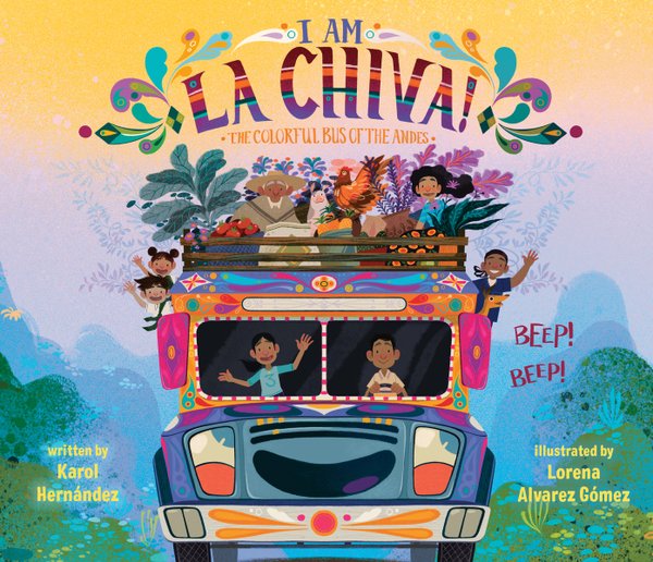
Picture Books
Recommended for grades K–4 and family read-alouds. Short, illustrated books suited to independent or shared reading; some explore subjects that older students can study more deeply.
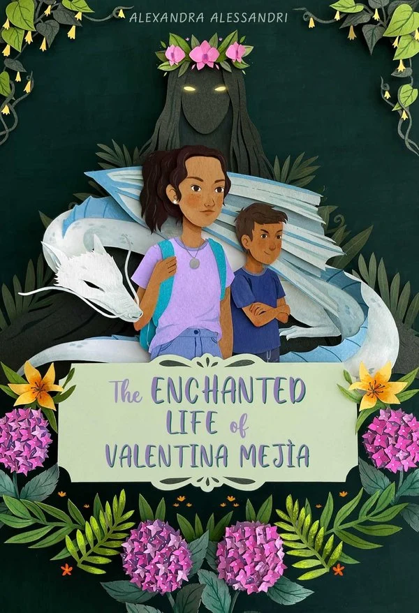
Middle Grade

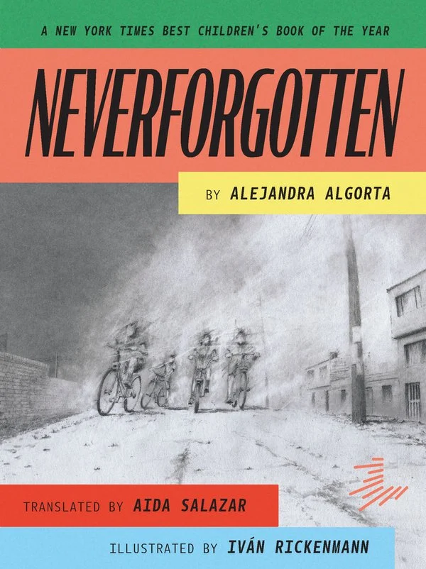
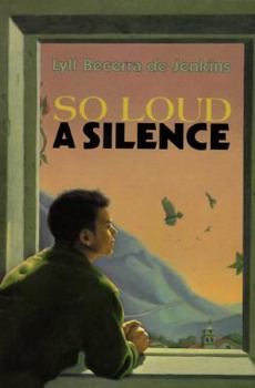
Grade 9 / Advanced
Recommended for grades 8–9 and up. More demanding in length, language, structure, subject matter, or required background knowledge.
Reference Books
A note for parents
Grade recommendations are based on reading level, complexity, and intended audience. Because every student and family is different, please review the book descriptions and content notes, and preview titles as needed, to determine whether each selection is a good fit for your student and your family's values. Content notes identify potentially sensitive material but may not cover every concern.